I’m Rob. Born and brewed in Kitsap. I’ve been wandering Port Gamble’s forest long enough to know where the salal hides the puddles and where the ravens heckle you for your trail mix. And still—some mornings the fog rolls in from the bay, the moss glows neon, and I somehow miss the very obvious junction that I’ve walked past, oh, a hundred times. If getting lost were cardio, I’d be shredded.

Credit: Russ McMillan/Great Peninsula Conservancy
This isn’t a neat listicle (well, not exactly). It’s a meander through the ways I’ve learned to keep myself found out there. A few victories. A few whoops. And a trails map tucked where I can actually reach it. Note to future Rob: bring the dang map.
A damp memory first. Years ago, I took my dad’s wrinkled paper map—the one with a coffee ring and a tear where Road 1400 is—and told myself I didn’t need it. Tossed it in the glove box. Felt very outdoorsy and free. Ten minutes later, rain began its steady PNW drumline on my hood, and the forest canopy swallowed my phone’s GPS like a hungry otter. The “you are here” dot started jittering between three different clearings. I laughed, then swore lightly, then laughed again because, yep, that’s Port Gamble. It’ll humble you, kindly.
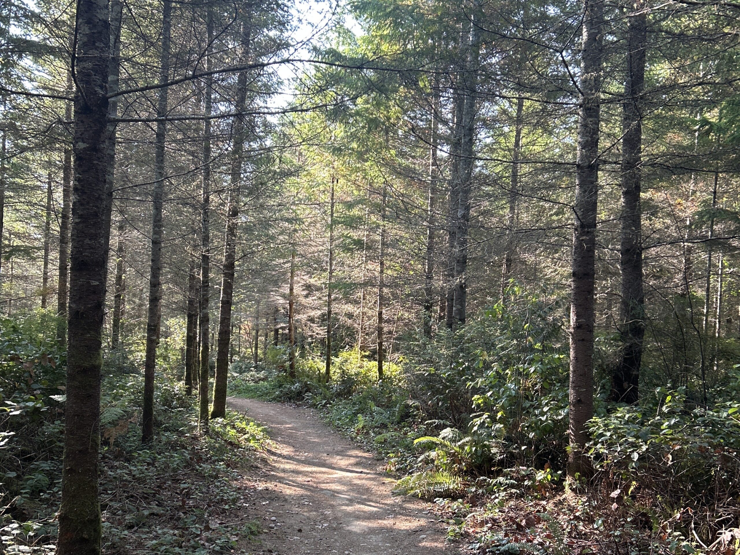
Here’s the thing about the Port Gamble trails: they’re honest. They’ll show you where you are if you slow down to look. Logging roads aren’t a bug of this place—they’re part of the ecosystem. The first time I stopped treating them like “ugh, a detour” and started reading their numbers like signposts, the whole puzzle snapped into place. Road 1000, Road 1400, spurs that feel cloned in the morning fog. They’re not trying to trick you. They’re just… roads. Learn their names. You’ll walk lighter.
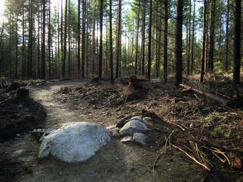
Smell matters out here. The cedar wakes up spicy after rain, and the moss smells like fresh earth that forgot it’s supposed to be dirt. When the fog sinks into the clearcuts and whispers across the timber, sound gets weird—machinery thumps distant, a chain clanks, and your brain says, uh, maybe not that way today. That’s your cue to check for active logging closures. I’ve rolled up to a familiar trailhead, only to find a clean, bright sign and fresh tire ruts from equipment. No drama—just reroute. Flexible hikers are happy hikers.
One mini mistake I make more than I should: breezing through junctions like it’s a victory lap. The Port Gamble junctions are… let’s call them enthusiastic. Crossroads of singletrack, two-track, and logging roads, all crisp with dew and noble with signage, and somehow I still walk past the turn because I’m in my head planning snack time. The fix that finally stuck was goofy-simple. I pause. I face the way I came for two beats. Then I point—literally point—with the hand that will hold my next turn. If I’m feeling extra, I snap a quick photo of the post and the surrounding trees. It’s saved me from a few “wait, where did I come from?” spirals.
About apps. I love them. I use them. But Port Gamble’s canopy will turn your dot into a jitterbug. My happy medium now: I download a trails map ahead of time, mark two bailout points (parking lots, road crossings, or anything with a name), and then stick my phone away until I actually need it. The trails themselves give you plenty—difficulty markers that mean what they say, bike features that hint you’re on a mountain bike line, and, if you’re listening, the thrum of the nearby road when you’re nearing an exit. Trails map for the plan. Forest for the adjustments.
Download: Port Gamble Forest Heritage Park trail map, Kitsap County (PDF)
Credit: Kitsap County Parks
Download: Port Gamble Forest Heritage Park trail map, Kitsap County (JPEG)
Credit: Kitsap County Parks
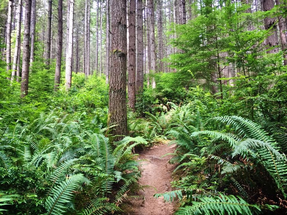
There’s a memory I keep tucked for rainy days. Early spring—Port Gamble in that bright, wet mood it gets after a week of straight drizzle. I brought my nephew, told him it was “a big adventure but not… like, big big.” We wandered the Ewok-ish bits where sword ferns crowd the corridor and the air tastes like green apple skins. I missed the turn I wanted (classic) and ended up on a longer loop. He didn’t mind. He found a banana slug the size of a kielbasa and declared it our trail captain. We followed it for thirty seconds, then gently demoted it to morale officer. Rob-ism: I pack snacks like a raccoon with a rewards card—so yes, we were fine.
Credit: JJ Hikers/Washington Trails Association
What helps me now:
- I read the kiosk map like I’m tracing a friend’s handwriting. I literally run my finger from start to finish and pick two “bailouts.” If one’s a logging road, cool. If it’s a parking spur, even better.
- I respect the difficulty ratings. “Intermediate” on the Port Gamble trails isn’t code for “Sunday stroll.” Sometimes it’s roots and punchy climbs and a sneaky turn that comes right after you’re admiring the salal blossoms.
- I keep my pace conversational. If I can’t chat with myself (don’t judge), I’m moving too fast for the day’s brain. The forest rewards unhurried people.
On the subject of rain gear: I once wore a not-waterproof “waterproof” jacket and, by the second hour, it felt like hugging a cold seal. Bring the real thing. The rain here isn’t angry—just persistent. It’ll bead on your hood, patter softer under the firs, then slide down your sleeves if you forgot to cinch them. Which I did. Twice.
A quick word about respect. Port Gamble Forest Heritage Park is shared space—loggers, bikers, equestrians, hikers, dogs who believe they’re small bears. Everyone’s trying to get their thing done in this green cathedral. Yield kindly. Announce before passing. Step aside when a bike train comes through—you’ll feel like you just watched salmon heading upstream.
Credit: Evergreen Mountain Bike Alliance
Sometimes, right at a junction, I stop and remember being a kid on a ferry out of Kingston, squinting toward Port Gamble’s mill stacks and thinking the whole forest beyond must be endless. It isn’t endless, but it is big enough to get wonderfully small inside of. That’s why I carry a plan now—not to boss the place around, but to earn the kind of wandering that feels free instead of frantic.
If you’re new, start with a friendly loop. Snap a photo of the kiosk trails map. Note where the numbered roads are. Listen for the far-off hum of Highway 104. Smell the cedar when you second-guess a turn. And if the blue dot goes disco, no problem. You’re in Kitsap. The fog lifts. The moss points home if you’re patient. Another Rob-ism for the trail: I don’t get lost; I just collect bonus miles I didn’t order.
In the end, the best “Port Gamble trails map” is the one you’ll actually use. Maybe it’s a paper map with a coffee stain, folded into a zip pocket. Maybe it’s a downloaded layer that doesn’t slurp battery. Maybe it’s three photos—kiosk, first junction, bailout. Whatever keeps you present enough to notice the way the rain sounds different under hemlock versus cedar. That’s the good stuff.
I still miss a turn now and then. I still backtrack. I still mutter, “Rob, buddy,” when I forget the obvious. But I’m not racing the forest anymore. I’m walking with it. And every time I come back to the car, boots muddy, jacket steaming gently in the heater, I’m grateful for the little detours that taught me how to stay found.

